
The National Pollutant Discharge Elimination System (NPDES) Stormwater Program regulates point source discharges from three potential sources: Municipal Separate Storm Sewer Systems (MS4s), construction activities and industrial activities. Operators of these sources may be required to obtain an NPDES permit before they can discharge stormwater.
The NPDES Stormwater Program in Tallahassee is responsible for the development, administration and compliance of rules and policy to minimize and prevent pollutants in stormwater discharges.
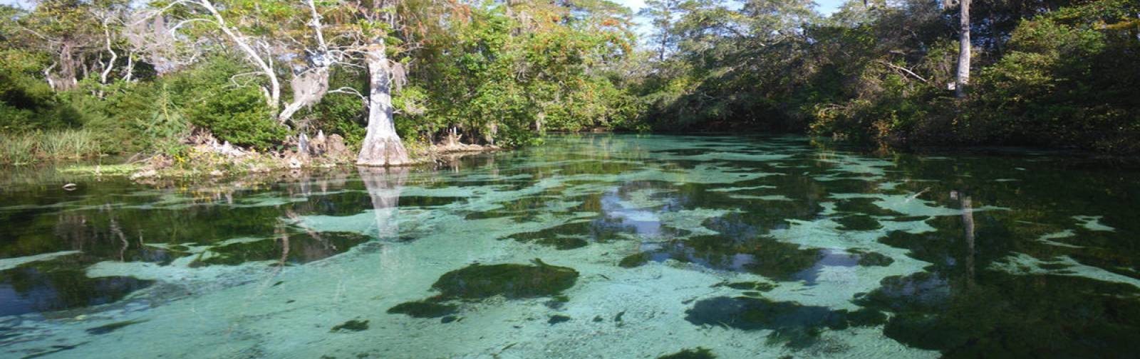
Stormwater runoff is generated from rain events that flow over land or impervious surfaces, such as paved streets, parking lots and building rooftops, and does not soak into the ground. The runoff picks up pollutants like trash, chemicals, oils, and dirt/sediment that can harm our rivers, streams and lakes. To protect these resources, municipalities, construction and industries activities, and others use stormwater controls, known as best management practices (BMPs), to manage their runoff. The implementation of these practices, which include BMP design, performance and adaptive management requirements, prevent pollution by controlling it at its source.
E-File your NOI | EzDMR | FAQs
You must have a PIN to submit electronically.
Having trouble with the DEP Business Portal?
View our step-by-step guidance on how to apply for a CGP | MSGP/NEX
More Information
Browse the Stormwater Program topics on the left-hand side of the page for more information.
If you still have any general questions about the program, contact the NPDES Stormwater Program in Tallahassee at 850-245-7522.
Interested in subscribing to DEP newsletters or receiving DEP updates through email?
Sign UpThe Florida Department of Environmental Protection is the state’s lead agency for environmental management and stewardship – protecting our air, water and land. The vision of the Florida Department of Environmental Protection is to create strong community partnerships, safeguard Florida’s natural resources and enhance its ecosystems.
Learn More