
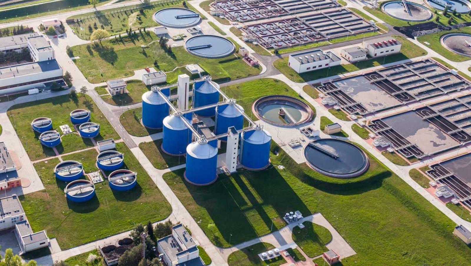
The Division of Waste Management works closely with the department's district offices to implement state and federal laws to protect the environment from the improper handling and disposal of solid and hazardous wastes. This includes regulatory programs for waste facilities and pollutant storage systems, and non-regulatory activities such as financial and technical assistance for recycling and waste reduction. The division also oversees and contracts for the cleanup of sites contaminated with petroleum products, dry cleaning solvents or other hazardous wastes.
There are four program areas within the Division of Waste Management: Permitting and Compliance Assistance; District and Business Support; Waste Cleanup; and Petroleum Restoration.

The District and Business Support Program provides technical support services to the division and DEP district offices.

Responsible for implementing the state's financial assurance and financial responsibility programs for Solid and Hazardous Waste and Tanks programs.

Oversees cleanup of sites contaminated by petroleum and petroleum products from stationary petroleum storage systems.

Manages state-funded investigation and cleanup of hazardous waste sites and coordinates with EPA during cleanup of federal Superfund sites.

Promotes and monitors statewide recycling and waste reduction programs. Provides grants and technical assistance to local governments.
Interested in subscribing to DEP newsletters or receiving DEP updates through email?
Sign UpThe Florida Department of Environmental Protection is the state’s lead agency for environmental management and stewardship – protecting our air, water and land. The vision of the Florida Department of Environmental Protection is to create strong community partnerships, safeguard Florida’s natural resources and enhance its ecosystems.
Learn More