
District Director - Greg Strong
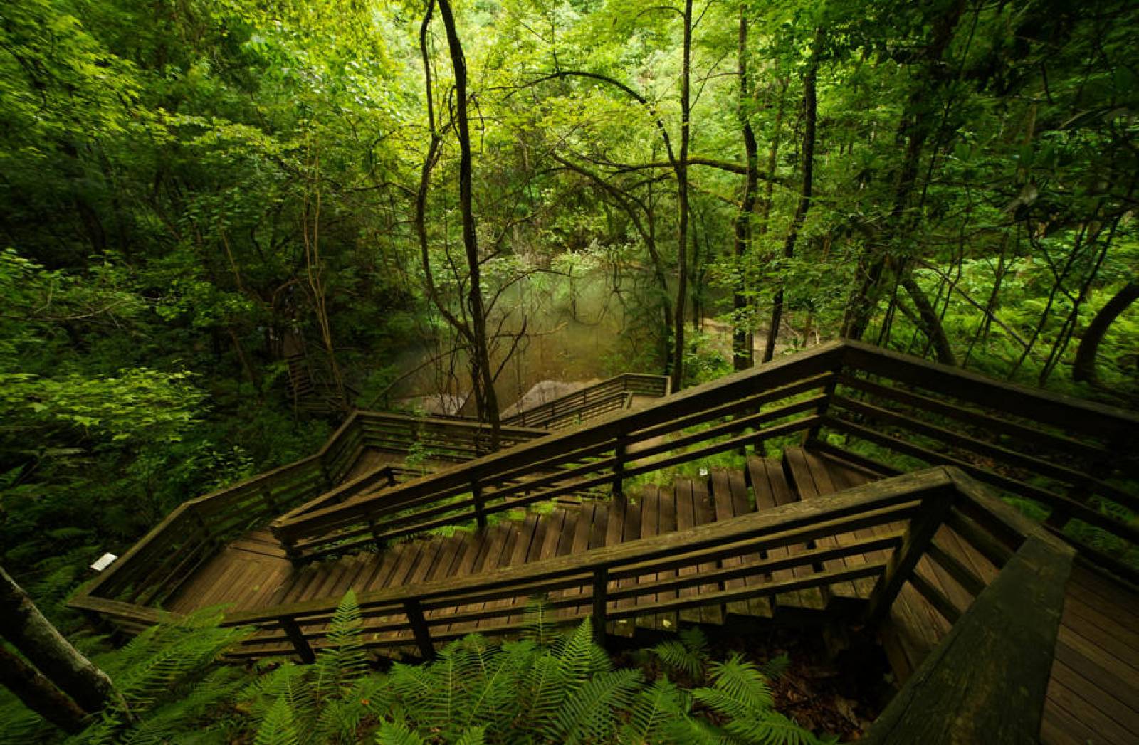
The Northeast District encompasses the largest land mass of any department regulatory district. The area includes portions of the Atlantic coastal plain and counties bordering the Gulf of Mexico as well as the state of Georgia. The natural and ecological value of the Northeast is reflected in its diversity. The district has more rivers than any other including the St. Johns, Nassau, Tolomato and historic Suwannee and Santa Fe rivers.
Jurisdiction: Alachua, Baker, Bradford, Clay, Columbia, Dixie, Duval, Flagler, Gilchrist, Hamilton, Lafayette, Levy, Madison, Nassau, Putnam, St. Johns, Suwannee, Taylor and Union counties.

Contact information for the Director’s Office · Business Planning · Compliance Assurance · Permitting Program · Language Barrier Assistance

The Northeast District provides compliance assistance through site visits, technical support, workshops, pre-application meetings and online, printable materials.

Environmental permits help minimize potential environmental disruption as a result of common human activities. DEP works closely with all parties in implementing its regulatory programs.

Information about current and ongoing topics of interest to the public.
None available at this time.
None available at this time.
Interested in subscribing to DEP newsletters or receiving DEP updates through email?
Sign UpThe Florida Department of Environmental Protection is the state’s lead agency for environmental management and stewardship – protecting our air, water and land. The vision of the Florida Department of Environmental Protection is to create strong community partnerships, safeguard Florida’s natural resources and enhance its ecosystems.
Learn More