
The start of May brings National Bike Month and National Ride a Bike Day (May 5th). Did you know that the carbon footprint of riding a bike is up to 30 times lower than that of a conventional vehicle? When short trips usually driven by car are replaced with biking, the health and environmental benefits really start adding up. If you are looking to check out a new-to-you bike trail this month, browse our Online Trail Guide or check out some of the resources and group rides organized by Bike Florida.
One state park that is renowned for its bike trails, along with other types of trails, is the Cross Florida Greenway. Join us on May 8th for the next installment of the Outdoor Florida Webinar series where we are featuring Mickey Thomason, Park Manager for the Greenway. Occupying 70,000 acres of land formerly known as the Cross Florida Barge Canal, the Cross Florida Greenway is a 110-mile linear park more than a mile wide in places. It hosts more than 300 miles of trails of all types--paddling, hiking, equestrian, mountain biking and paved multi-use. Mickey will discuss the Greenway’s history and the many recreation opportunities along its path. Sign up here.
Are you interested in having your board, committee, council, or other group learn more about Trail Towns, Land and Paddling Trail Designations, or other programs coordinated by the Office of Greenways and Trails? Let us know by submitting a DEP Speaking Request or by contacting us. OGT staff are also available to table at outdoor recreation focused events and festivals.

For more information on requesting a speaker, visit the Contact Us webpage.
The Florida Coast-to-Coast Trail (C2C) was conceived as an ambitious effort to create a continuous paved multi-use trail across the state of Florida from the Gulf of Mexico to the Atlantic Ocean, the first state trail of its kind in the United States. It will span approximately 250 miles and is currently 88 percent complete. The trail will link communities between St. Petersburg and Titusville along its entire length, allowing residents and visitors to explore Central Florida by bicycle or foot. The trail is linking all or part of several existing multi-use trails and will be managed by a broad range of communities and agencies. The Coast-to-Coast Trail Alliance is coordinated by OGT. For more information, visit OGT's C2C Alliance webpage.
The Coast-to-Coast Story Map Guide is the culmination of efforts to create a practical, adaptable, accessible mode for communicating information about the trail including wayfinding, alternate routes for large gaps, amenities and local information.
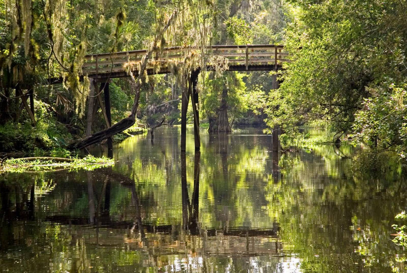
The initial scouting and mapping of the 1,515-mile Florida Circumnavigational Saltwater Paddling Trail (CT) was completed in 2007, but periodic updates are needed for a trail of this length and magnitude. For our latest map upgrade, we changed the appearance and scope of the 26 segment maps to make them clearer and more informative. For more information, visit OGT's CT segments webpage. We have also created a CT Story Map and a Suwannee River Wilderness State Trail Story Map.

For more information, visit the Outdoor Florida Webinar Series webpage.
With our sunny skies and active lifestyles, Florida’s residents and visitors enjoy exploring our numerous miles of trails. Trail safety is important, particularly where trails and roadways cross. We all need to do our part to protect one another and prevent accidents. Whether as a motorist or trail user, we have a shared responsibility to:
The Florida Department of Transportation and the DEP's Division of Recreation and Parks joined together to put the spotlight on this important topic by developing a Trail Safety Video.
Feel free to share or download the video along with the extra information found below ... and remember to Always Put Safety First.
| More Trail Safety Information |
|---|
| Trail Safety Poster |
| Trail Safety at Crossings |
For even more information on trail safety, please visit our Assistance and Resources webpage.

Do you enjoy hiking, biking, paddling or horseback riding? OGT, within the Division of Recreation and Parks, provides statewide leadership and coordination to establish, expand and promote non-motorized trails that make up the Florida Greenways and Trails System, pursuant to the Florida Greenways and Trails Act (Chapter 260, Florida Statutes). More can be found in the OGT office overview and historical timeline.
"Florida's Growing Trail System" article in the March/April 2019 issue of Quality Cities Magazine provides an overview of Florida's trail system and Trail Town program.
To be included in OGT's online calendar, send regional and state event announcements to Doug Alderson.
Featured Publications:
Florida trails 500-plus miles in length:

Florida Bike Touring and State Trail Public Camping Options
Florida Bike Touring and State Trail Public Camping OptionsInterested in subscribing to DEP newsletters or receiving DEP updates through email?
Sign UpThe Florida Department of Environmental Protection is the state’s lead agency for environmental management and stewardship – protecting our air, water and land. The vision of the Florida Department of Environmental Protection is to create strong community partnerships, safeguard Florida’s natural resources and enhance its ecosystems.
Learn More