
April is Earth Month, a great time to get involved with local trail and greenway volunteer projects. One action that anyone can take to beautify their favorite hiking, cycling, or paddling trail is to pick up litter and properly dispose of it. Keep America Beautiful offers free litter cleanup kits including a litter picker, gloves, and safety vest to aid with community cleanups. Additionally, check out our Community Trails Calendar for a listing of upcoming events around the state to get involved with on Earth Day and beyond.
Join us on April 10th at 10a.m. for the next installment of the Outdoor Florida webinar series. Guest speaker Mike Cheek, Recreation Project Manager with the South Florida Water Management District, will talk about the restoration of the Kissimmee River along with the many recreational opportunities available to the public throughout the District’s 16-county region. Visit the webinar webpage to sign up or learn more.
The 2024-2028 Florida Greenways and Trails System Plan has been published and is available for view and download on the Office of Greenways and Trails website. This document is updated every five years and outlines the main goals of the Office and strategies for achieving them. Alongside the updated Plan, status maps for all fourteen Regional Trails are now available. These maps will be periodically updated on the Office of Greenways and Trails website as trail segments are funded and completed. Click here to view the Plan and maps.
In March, the National Park Service formally recognized Florida’s 2023-2027 Statewide Comprehensive Outdoor Recreation Plan (SCORP). The SCORP is the state’s official document regarding outdoor recreation planning and is updated every five years. Click here to learn more about the SCORP and view the published plan.
At the March Florida Greenways and Trails Council meeting, the Council voted to keep the Coast-to-Coast Trail and the St. Johns River-to-Sea Loop as the top two priorities for FDOT’s SUN Trail funding. As of today, the Coast-to-Coast trail is a little over 80% complete and the St. Johns River-to-Sea Loop is a little over 50% complete. There are many SUN Trail projects coming up for both trails, which are detailed in FDOT’s SUN Trail Tentative Work Program FY 2024 / 2025 – FY 2028 / 2029.

For more information on requesting a speaker, visit the Contact Us webpage.
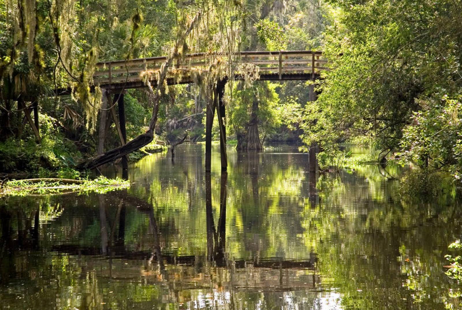
The Florida Coast-to-Coast Trail (C2C) was conceived as an ambitious effort to create a continuous paved multi-use trail across the state of Florida from the Gulf of Mexico to the Atlantic Ocean, the first state trail of its kind in the United States. It will span approximately 250 miles and is currently 88 percent complete. The trail will link communities between St. Petersburg and Titusville along its entire length, allowing residents and visitors to explore Central Florida by bicycle or foot. The trail is linking all or part of several existing multi-use trails and will be managed by a broad range of communities and agencies. The Coast-to-Coast Trail Alliance is coordinated by OGT. For more information, visit OGT's C2C Alliance webpage.
The Coast-to-Coast Story Map Guide is the culmination of efforts to create a practical, adaptable, accessible mode for communicating information about the trail including wayfinding, alternate routes for large gaps, amenities and local information.
The initial scouting and mapping of the 1,515-mile Florida Circumnavigational Saltwater Paddling Trail (CT) was completed in 2007, but periodic updates are needed for a trail of this length and magnitude. For our latest map upgrade, we changed the appearance and scope of the 26 segment maps to make them clearer and more informative. For more information, visit OGT's CT segments webpage. We have also created a CT Story Map and a Suwannee River Wilderness State Trail Story Map.

For more information, visit the Outdoor Florida Webinar Series webpage.
With our sunny skies and active lifestyles, Florida’s residents and visitors enjoy exploring our numerous miles of trails. Trail safety is important, particularly where trails and roadways cross. We all need to do our part to protect one another and prevent accidents. Whether as a motorist or trail user, we have a shared responsibility to:
The Florida Department of Transportation and the DEP's Division of Recreation and Parks joined together to put the spotlight on this important topic by developing a Trail Safety Video.
Feel free to share or download the video along with the extra information found below ... and remember to Always Put Safety First.
| More Trail Safety Information |
|---|
| Trail Safety Poster |
| Trail Safety at Crossings |
For even more information on trail safety, please visit our Assistance and Resources webpage.

Do you enjoy hiking, biking, paddling or horseback riding? OGT, within the Division of Recreation and Parks, provides statewide leadership and coordination to establish, expand and promote non-motorized trails that make up the Florida Greenways and Trails System, pursuant to the Florida Greenways and Trails Act (Chapter 260, Florida Statutes). More can be found in the OGT office overview and historical timeline.
"Florida's Growing Trail System" article in the March/April 2019 issue of Quality Cities Magazine provides an overview of Florida's trail system and Trail Town program.
To be included in OGT's online calendar, send regional and state event announcements to Doug Alderson.
Featured Publications:
Florida trails 500-plus miles in length:

Florida Bike Touring and State Trail Public Camping Options
Florida Bike Touring and State Trail Public Camping OptionsNone available at this time.
Interested in subscribing to DEP newsletters or receiving DEP updates through email?
Sign UpThe Florida Department of Environmental Protection is the state’s lead agency for environmental management and stewardship – protecting our air, water and land. The vision of the Florida Department of Environmental Protection is to create strong community partnerships, safeguard Florida’s natural resources and enhance its ecosystems.
Learn More