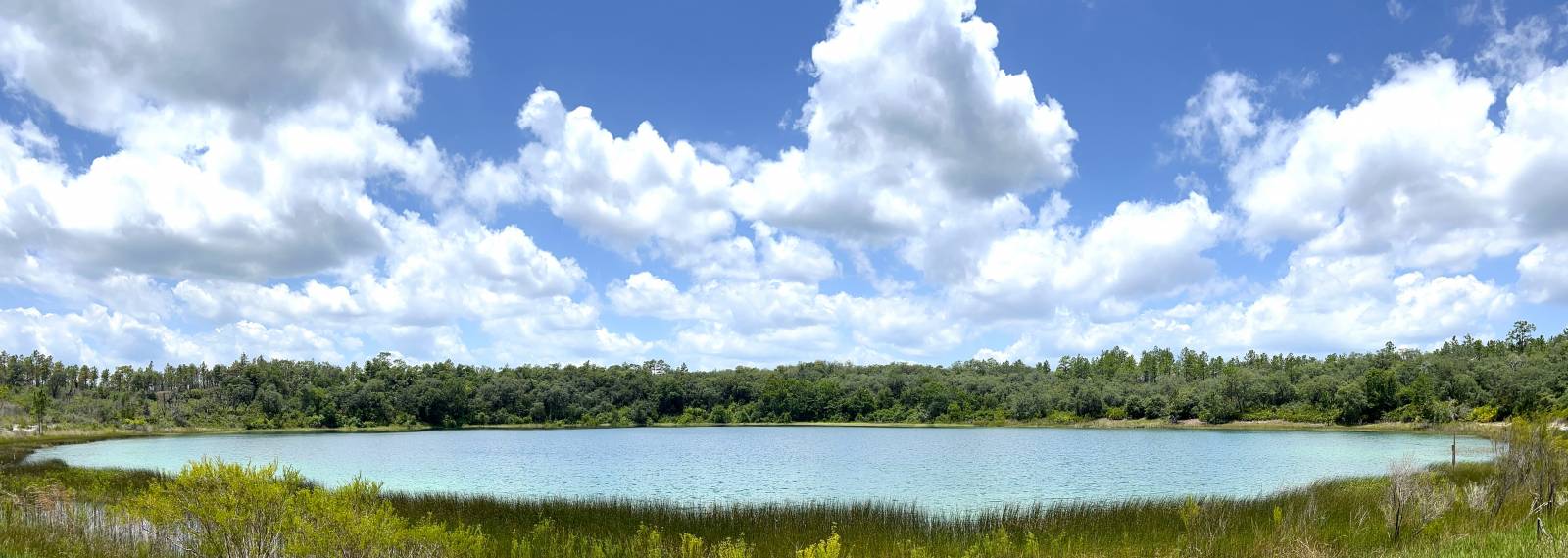
- Dye-tracing tests are important toward understanding
the complex and dynamic ground-water flow systems in karst terrains,
such as the Woodville Karst Plain.
http://www.gue.com/wkpp/
- In addition to archiving hard copies of cave maps, a
digital cave
database is also under development
http://www.hazlett-kincaid.com/FGS/cave-db/index.htm
With this database, two and three dimensional cave maps are available to
scientists and resource managers. Geo-referenced cave maps assist
land-use planners to minimize impacts on ground-water and spring water
quality, and allow more effective planning of structures to avoid
potential collapse into sinkholes associated with cave systems. In this
image (right), note the intersection of the cave system with roadways.
- Springshed Maps
The FGS is the State repository for springshed maps and is actively
working with WMDs, USGS and the private sector to compile a complete
set of currently available springshed maps. In March 2005, the FGS
facilitated a meeting of springs researchers and interested parties
to discuss various aspects of springshed delineation. At this
meeting, it was agreed that potentiometric based springshed maps for
the first and second magnitude springs would be developed and
provided to the FGS. That a peer review group would be established
to review future springshed delineation maps. The FGS would
coordinate this as well as develop and publish a listing of
acceptable delineation methods.
- Florida’s First Magnitude Springsheds Poster 12
- Spring Protection Areas
Recently, the FGS was asked to create an updatable “Florida Springs
Protection Areas” map for the Florida Department of Community Affairs.
The purpose of the map is to identify areas that contribute flow to
Florida’s springs and provide growth and land use decision-makers with a
published resource to assist them in protecting and restoring the
quantity and quality of spring discharge. Utilizing data from Florida
water management districts, the U.S. Geological Survey and the Florida
Department of Environmental Protection, the FGS utilized GIS software,
expert knowledge and interpretation to generate a map delineating
springs protection areas.
- Offshore Springs
In cooperation with other FGS programs, a significant effort is dedicated
to locating and characterizing the offshore springs. Using aerial
thermography, this offshore spring was discovered in February, 2003 by
comparing temperature difference in
the ocean and spring water.)
- Update of Florida's hydrostratigraphic nomenclature
Since the mid 1980, hydrogeologists around the state have used
hydrostratigraphic nomenclature as defined in FGS Special Publication #
28. However, over the past several years, it has become apparent that an
update is needed. Recently, representatives from the FGS, Water
Management Districts, the US Geological Survey, and Florida’s University
System created an ad hoc committee to develop updated nomenclature,
along with regional hydrostratigraphic cross sections. The FGS took the
lead. Geologists at the FGS are currently constructing seven
hydrostratigraphic cross sections across the state at a regional scale.
Each section will display both stratigraphic and hydrostratigraphic
information. Once the drafts are complete, they will be forwarded to the
other committee members for their review. By the end of 2005, a revised
edition of Special Publication #28 is scheduled for completion.
- Update of Florida's hydrostratigraphic nomenclature
The FGS maintains statewide
Subsidence Incident Reports, however these are only subsidence
incidents that are
reported to the agency, and may or may not be true sinkholes. Thousands of sinkholes sculpt the topography of
Florida and play an important role regarding ground-water contamination
potential as well as in helping predict the occurrence of future
sinkholes. This image shows the locations of closed topographic
depressions in Florida. Most of these features were formed due to the
occurrence of sinkholes.
The Floridan Aquifer System (FAS), a thick sequence of tertiary carbonates,
is a major fresh water resource in the Florida panhandle. Overburden
comprised of Surficial Aquifer System and/or Intermediate Aquifer System
sediments may act to protect the FAS from potential contamination
sources where it is present. This overburden can be several hundred feet
thick where it provides variable confinement for the FAS, or it can be
thin to absent in areas where carbonate units comprising the FAS are
exposed at or near land surface. In areas where the overburden is thin
to absent, the potential for karst terrain development such as sinkholes
and collapse features is increased. Karst terrain provides preferential
flow paths for surface water to enter the underlying aquifer system, and
therefore places them at a greater risk of contamination from the
surface.
To develop the sensitive karst areas (SKA) boundary the FGS utilized a
Geographic Information System incorporating spatial data layers such as
the state geologic map, land surface topography and overburden thickness
maps. Land surface topography is comprised of the Digital Elevation
Model (DEM) developed for the FAVA project.
The DEM was created by digitizing U.S. Geological Survey Quadrangle
maps, converting these arcs to a Triangular Irregular Network and then
into a 30 X 30 meter GRID. The DEM GRID along with a GRID of the top of
the Floridan Aquifer System, acquired from the NWFWMD, was used to
develop a FAS overburden GRID. This was accomplished by subtracting the
FAS overburden from the DEM. Areas of less then 100 feet of FAS
overburden were then identified and overlain on areas affected by karst
topography in the NWFWMD. Based on the combination of these two maps the
SKA limits were identified for the NWFWMD.
This methodology was created for the Florida Department of Environmental
Protection, Division of Water Resource Management and was inserted in
the FDEP Environmental Resource Permit Applicant’s Handbook - Volume II,
Engineering Requirements for Stormwater Treatment and Management Systems
- Water Quality and Water Quantity.The delineated SKA maps are used when
sighting proposed stormwater holding ponds and establishes additional
design criteria for these structures including minimum thickness of
sediment between the surface and limestone, total depth of holding pond,
vegetation requirements, sediment traps, liners and potentially
ground-water modeling. For more information on this project please refer
to the American Geological Institute website:
Application of geologic mapping and geographic information systems to
delineate sensitive karst areas for land-use decisions
|