
| The Florida Department of Environmental Protection's Office of Resilience and Coastal Protection manages more than 5.3 million acres of submerged lands and coastal uplands in Florida. |
|
|---|
Alex Reed, Director, Office of Resilience and Coastal Protection
Alex Reed was appointed director of the Office of Resilience and Coastal Protection in November 2019. The office has a multi-faceted approach to resilience, including coral reef protection; preservation of coastal and aquatic management areas; beach and inlet management; and the implementation of ecosystem restoration projects to prepare Florida’s coastal communities and state-managed lands for the effects of sea level rise, coastal flooding, erosion and storms.
Alex has been with the Florida Department of Environmental Protection since 2009, serving in a variety of roles and most recently as the director of the Division of Water Resource Management. Alex earned a Bachelor of Science in geology from Florida State University.

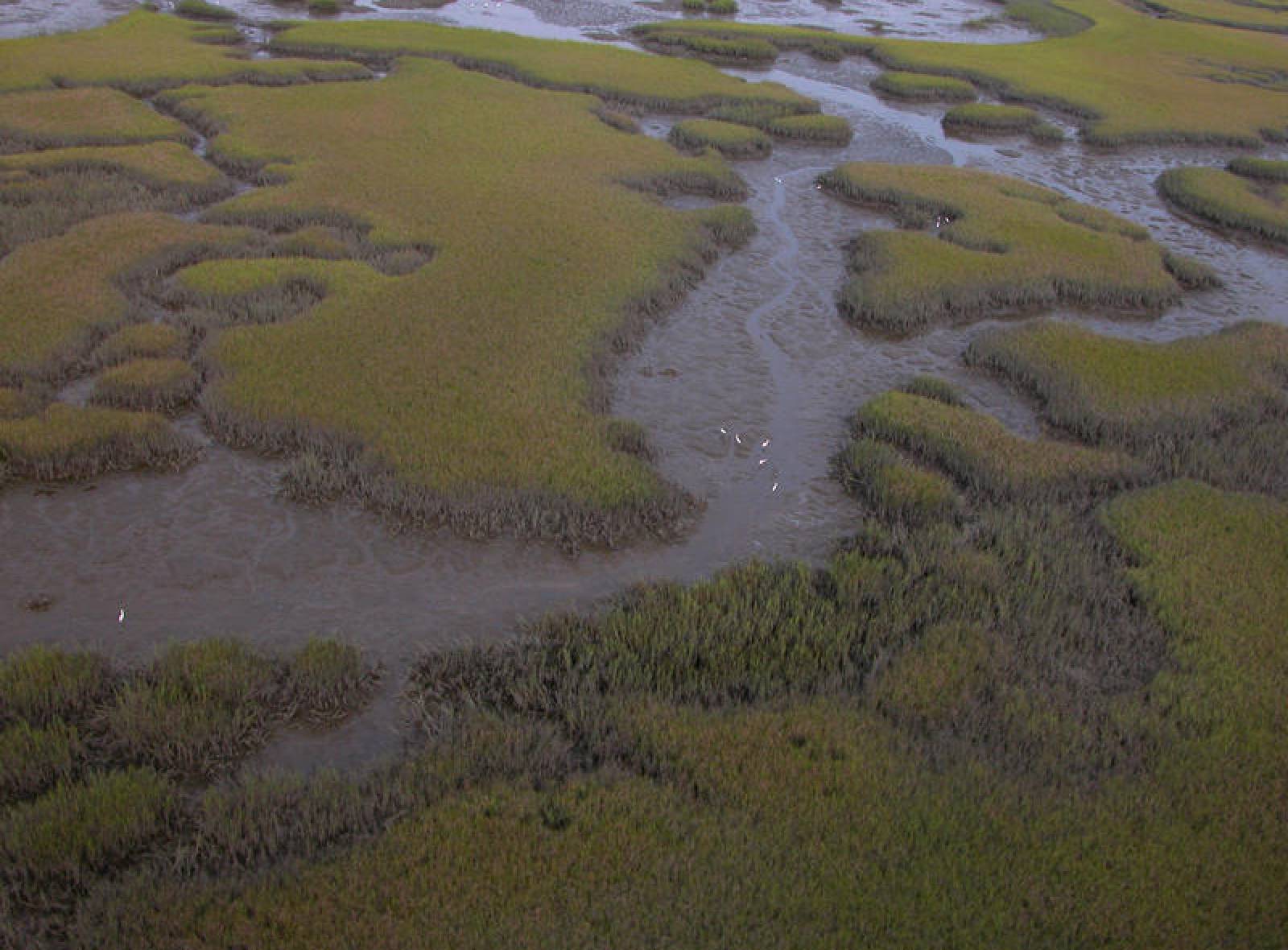
Florida has 42 aquatic preserves, encompassing 2.6 million acres, along Florida's coastline, except for four located inland near springs and rivers. All of these waters are ours to enjoy and protect.

Maintains a statewide geodetic control network and surveys the coastline of Florida.

Grants to local governments for the planning and implementation of beach and inlet management projects.

Manages permits for coastal construction seaward of the mean high water line as well as permits for activities such as pier construction and navigational dredging of deepwater ports and inlets.

Marina facilities voluntarily unite under the Florida Clean Marina Program and Clean Boating Program to implement environmental best management practices.

Provides funding assistance for the purchase, installation and maintenance of pumpout equipment for marinas.

Protects coastal systems by regulating structures and activities that can cause beach erosion, destabilize dunes, damage upland properties, or interfere with public access.

The Coastal Engineering and Geology Group (CEGG) provides technical expertise and assistance to the beach erosion control and regulatory programs of the Office of Resilience and Coastal Protection.

Coral Protection and Restoration Program Background The Coral Protection and Restoration Program (CPR) was established in 2020 to support the holistic management of Florida’s Coral Reef. Increasingly...

Coordinates research and monitoring, develops management strategies, and promotes partnerships to protect the coral reefs, hard-bottom communities, and associated reef resources of southeast Florida.

A guide to public coastal access points along the entire Florida coast from the Gulf of Mexico to the Atlantic Ocean

Coordinates local, state and federal agency activities using existing laws to protect coastal resources.

Florida Keys National Marine Sanctuary protects 2,900 square nautical miles of waters surrounding the Florida Keys, from Biscayne Bay westward to the Dry Tortugas.
Through the Florida Resilient Coastlines Program, DEP continues its efforts to help ensure collaboration among Florida’s coastal communities and to offer technical assistance and funding to coastal...

The research reserve includes the lower 52 miles of the Apalachicola River and floodplain as well as most of Apalachicola Bay.

The GTM Research Reserve protects 76,760 acres south of Jacksonville on Florida's northeast coast.

Located at the northern end of the Ten Thousand Islands on the Gulf Coast of Florida, the research reserve includes one of the few remaining undisturbed mangrove estuaries in North America.

DEP oversees activities in federal waters on the Outer Continental Shelf to ensure consistency with state laws and policies.

Updates: Pre Application assistance, including virtual office hours, for the 2024 application cycle begins. See the program resouces page for full details. NEW! 2023-2024 Resilient Florida Planning...

Buffer Preserves include lands managed by DEP on the mainland and the natural islands.

Webinar and Training Resources
For information about upcoming presentations/webinars please contact: Clean.Marina.Program@FloridaDEP.gov . The Clean Boating Programs plan to host biannual webinars for marinas that are interested in grant funding for pumpout projects and how to become designated as a Clean and Resilient marina. If you missed our last webinar you can review the presentations below. Build America Buy America......Read MoreInterested in subscribing to DEP newsletters or receiving DEP updates through email?
Sign UpThe Florida Department of Environmental Protection is the state’s lead agency for environmental management and stewardship – protecting our air, water and land. The vision of the Florida Department of Environmental Protection is to create strong community partnerships, safeguard Florida’s natural resources and enhance its ecosystems.
Learn More