
Biscayne Bay is home to two state aquatic preserves, collectively known as Biscayne Bay Aquatic Preserves (BBAP). The first, Biscayne Bay Aquatic Preserve, was established in 1974 and runs the length of Biscayne Bay proper, from the headwaters of the Oleta River down to Card Sound near Key Largo. BBAP is about 64,607 submerged acres. This aquatic preserve (AP) is split in half by what is now called Biscayne National Park, formerly called Biscayne National Monument. 
Biscayne Bay is a unique water body along the southeast Atlantic shoreline of the United States because it was not formed by the drowning of a river. Instead, Biscayne Bay formed between 5,000 and 2,400 years ago as sea level rose to fill the depression between two ridges.
Biscayne Bay is:
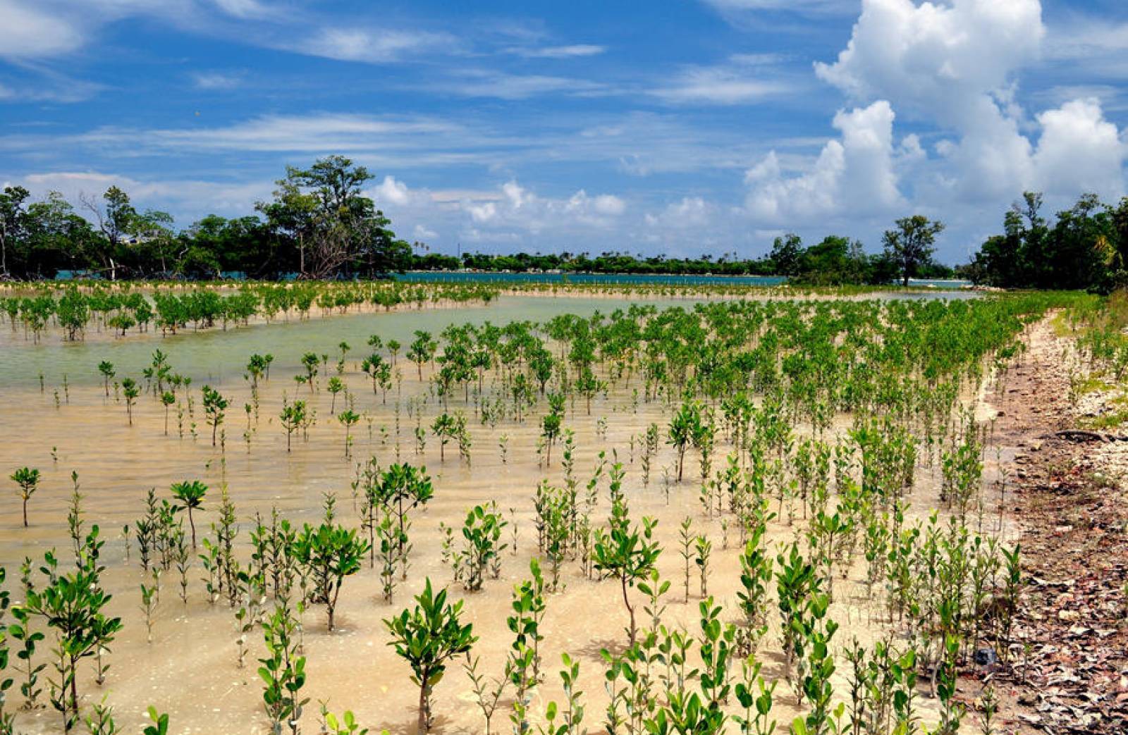
Biscayne Bay provides habitat for a variety of juvenile and adult marine species, as well as several of Florida’s imperiled species, including the Florida manatee (Trichechus manatus latirostris), the smalltooth sawfish (Pristis pectinata), the American crocodile (Crocodylus acutus) and Johnson’s seagrass (Halophila johnsonii). Johnson’s seagrass is the first and only marine plant to be listed as "threatened" on the Endangered Species List and lives in northern BBAP.
The second aquatic preserve within the Biscayne Bay area - Biscayne Bay-Cape Florida to Monroe County Line Aquatic Preserve - was established in 1975. Much of the submerged lands and islands originally included within the boundaries are now within either Biscayne National Park (BNP) or within the larger preserve, Biscayne Bay Aquatic Preserve. The original boundaries began offshore of southern Key Biscayne, extended out to the edge of Florida state waters and then went southward to the county line dividing Miami-Dade and Monroe counties. The boundary returned northward interior of Biscayne Bay along the intracoastal waterway. The preserve concluded back at southern Key Biscayne including the waters of Bill Baggs Cape Florida State Park. With the designation of Biscayne National Monument to a National Park in 1980, the Biscayne Bay-Cape Florida to Monroe County Line Aquatic Preserve lost much of its original acreage. Today, the remnant of this aquatic preserve is approximately 4,163 acres off the eastern shore of Key Biscayne.
Florida has one of the longest coastlines in the United States, with more than 75% of residents living in coastal areas. Miami-Dade County, which continues to be Florida's most populous county with 2,662,900 residents and 13.4% of Florida's population, extends the length of Biscayne Bay. Projections for Miami-Dade estimate its population to increase to 3,145,864 by 2030. Monroe County is adjacent to Card Sound and Southern Biscayne Bay and is known as a premier fishing and scuba diving destination.
| Core Programs | Visit/Get Involved | About BBAP |
|---|---|---|
Biscayne Bay Commission
Biscayne Bay Commission Semi-Annual Report
BBAP staff served on the Biscayne Bay Public Access Plan Advisory Plan in 2005, which produced "Get Your Feet Wet: The Public Access Plan for Biscayne Bay." The plan explored nonconventional access to the bay, such as providing visual access at street ends that lead to the bay.
Prehistoric settlements along the shores of Biscayne Bay were established by the Tequesta Native American tribe of the Glades and Archaic cultures. Middens of rock or shell, burials and other sites have been found along the Miami River and Biscayne Bay's shore.
The Tequesta lived along the mouths of streams, inlets and coastal beaches on both sides of Biscayne Bay. They used dugout canoes to access the bay and Atlantic Ocean. The Tequesta ate numerous aquatic species including marine turtles, sharks, sailfish, stingrays, manatees and dolphins.
The Miami Circle is the most significant site that documents the Tequesta and contains limestone rocks, black midden, soil, animal bones, marine shells and some artifacts. The circle is believed to be part of a settlement that covered both shores of the Miami River's outlet to Biscayne Bay. On Feb. 5, 2002, it was added to the National Register of Historic Places, then declared a National Historic Landmark on Jan. 16, 2009.
Interested in subscribing to DEP newsletters or receiving DEP updates through email?
Sign UpThe Florida Department of Environmental Protection is the state’s lead agency for environmental management and stewardship – protecting our air, water and land. The vision of the Florida Department of Environmental Protection is to create strong community partnerships, safeguard Florida’s natural resources and enhance its ecosystems.
Learn More