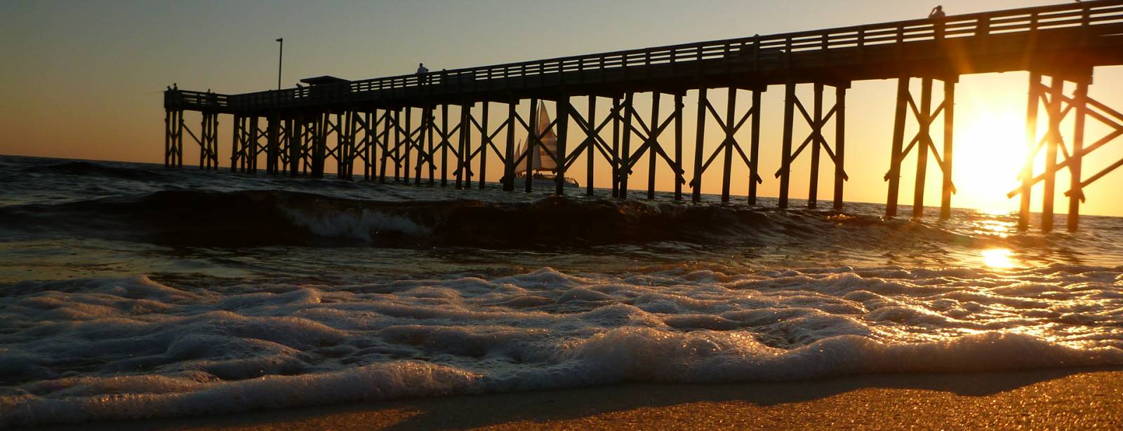
Lee at a Glance
| Coastal Cities | |
|---|---|
| Cape Coral, Ft. Myers, Ft. Myers Beach, Bonita Springs, Sanibel | |
| Popular Spot | |
| Sandy Beaches | 47 miles |
| Public Accesses | 98 |
| Great Florida Birding & Wildlife Trail | 16 sites |
| State Parks & Lands | Acres |
|---|---|
| Babcock-Webb Wildlife Management Area (Charlotte) | 80,335 |
| Cape Haze Aquatic Preserve (Charlotte) | 11,000 |
| Cayo Costa State Park | 2,461 |
| Charlotte Harbor Preserve State Park (Charlotte) | 43,388 |
| Corkscrew Regional Ecological Watershed (Collier) | 27,044 |
| Estero Bay Aquatic Preserve | 11,000 |
| Estero Bay Preserve State Park | 10,493 |
| Gasparilla Island State Park | 127 |
| Gasparilla Sound - Charlotte Harbor Aquatic Preserve (Charlotte) | 80,000 |
| Koreshan State Historic Site | 305 |
| Matlacha Pass Aquatic Preserve | 12,500 |
| Pine Island Sound Aquatic Preserve | 54,000 |
| Federal Lands | Acres |
|---|---|
| Island Bay National Wildlife Reserve | 20 |
| Bays & Inlets |
|---|
| Charlotte Harbor, Lemon Bay, Charlotte Bay |
| Rivers & Paddling Trails |
|---|
| Myakka River, Trout Creek, Peace River, Shell Creek, Gulf Intracoastal Waterway, Florida Circumnavigational Saltwater Paddling Trail |
Lee County's population is mostly in coastal cities in its northern half overlooking three aquatic preserves, large barrier islands and numerous tiny islands. The Caloosahatchee River flows 70 miles from Lake Okeechobee to San Carlos Bay between Lee's two largest cities, Cape Coral and Fort Myers. The Great Calusa Blueway Paddling Trail meanders 190 miles through Lee County's inland tributaries, mangrove and seagrass estuaries, and manatee and dolphin habitats.
Powder-white beaches are on the gulf sides of Lee's barrier islands, which are also known for shelling, snorkeling, hiking, tarpon fishing, paddling and wildlife. Mangroves and seagrasses fringe the barrier islands' bay sides.
Northern barrier islands, Gasparilla and Cayo Costa, can be reached only by boat through Gasparilla Sound-Charlotte Harbor Aquatic Preserve and Charlotte Harbor Preserve State Park. On Gasparilla's southern end are Gasparilla Island State Park, restored 1890s Boca Grande Lighthouse Museum and the village of Boca Grande. Seven miles of powder-white beaches line the island's gulf side.
Across Boca Grande Pass, Cayo Costa State Park covers most of Cayo Costa Island with nine miles of quiet gulf beaches and three other islands. It is great for primitive camping, off-road bicycling and tarpon fishing. To Cayo Costa's east is Pine Island Sound Aquatic Preserve, lush with birds, manatees, dolphins and expanses of mangroves and seagrasses.
Pine Island, the largest island on Florida's gulf coast is fringed by mangroves and three aquatic preserves. The island sits between mainland Cape Coral and Sanibel Island. Randell Research Center is a research and education center at the Pineland archaeological and historical site, a Calusa Indian village for over 1,500 years. Enormous shell mounds still overlook the waters of Pine Island Sound. The center offers education outreach and the 3,700-foot Calusa Heritage Trail.
Captiva and Sanibel islands are connected by a toll bridge. These popular resorts boast miles of unspoiled beaches covered with shells, bike paths, restaurants, unique shops, cultural events and an 1884 lighthouse. The J. N. "Ding" Darling National Wildlife Refuge & Bird Sanctuary on Sanibel Island is part of the largest stand of mangroves in the country. The "Ding" Darling Complex encompasses the Caloosahatchee, Matlacha Pass, Pine Island and Island Bay national wildlife refuges that provide feeding, nesting and roosting areas for migratory birds.
North of the Caloosahatchee River, the city of Cape Coral, is interlaced with over 400 miles of fresh and saltwater canals. Next to the river, Four Mile Cove Ecological Preserve showcases wildlife, trails and canoeing/kayaking. Estero Bay Preserve State Park protects 10 miles of Estero Bay. Fort Myers Beach, on Estero Island, has 25 beach accesses on the gulf. Its shore slopes gradually in shallow waters with no sudden drops or large waves. Mound Key Archaeological State Park, a Calusa Indian ceremonial center, rises above Estero Bay. Inland, Koreshan State Historic Site displays a 19th century religious settlement and 200 acres to hike, picnic, canoe or camp. Next, Lovers Key State Park's four barrier islands are a haven for wildlife and people with two miles of beaches and more. Then on the county line, fast-growing Bonita Springs features soft white sand beaches, dunes and sea oats on Little Hickory Island. Further inland is Corkscrew Swamp Sanctuary, a bald cypress reserve.

